Siskiyou Mountain Club
11x17 Middle Fork-Applegate Map, Geo-Referenced PDF
11x17 Middle Fork-Applegate Map, Geo-Referenced PDF
Couldn't load pickup availability
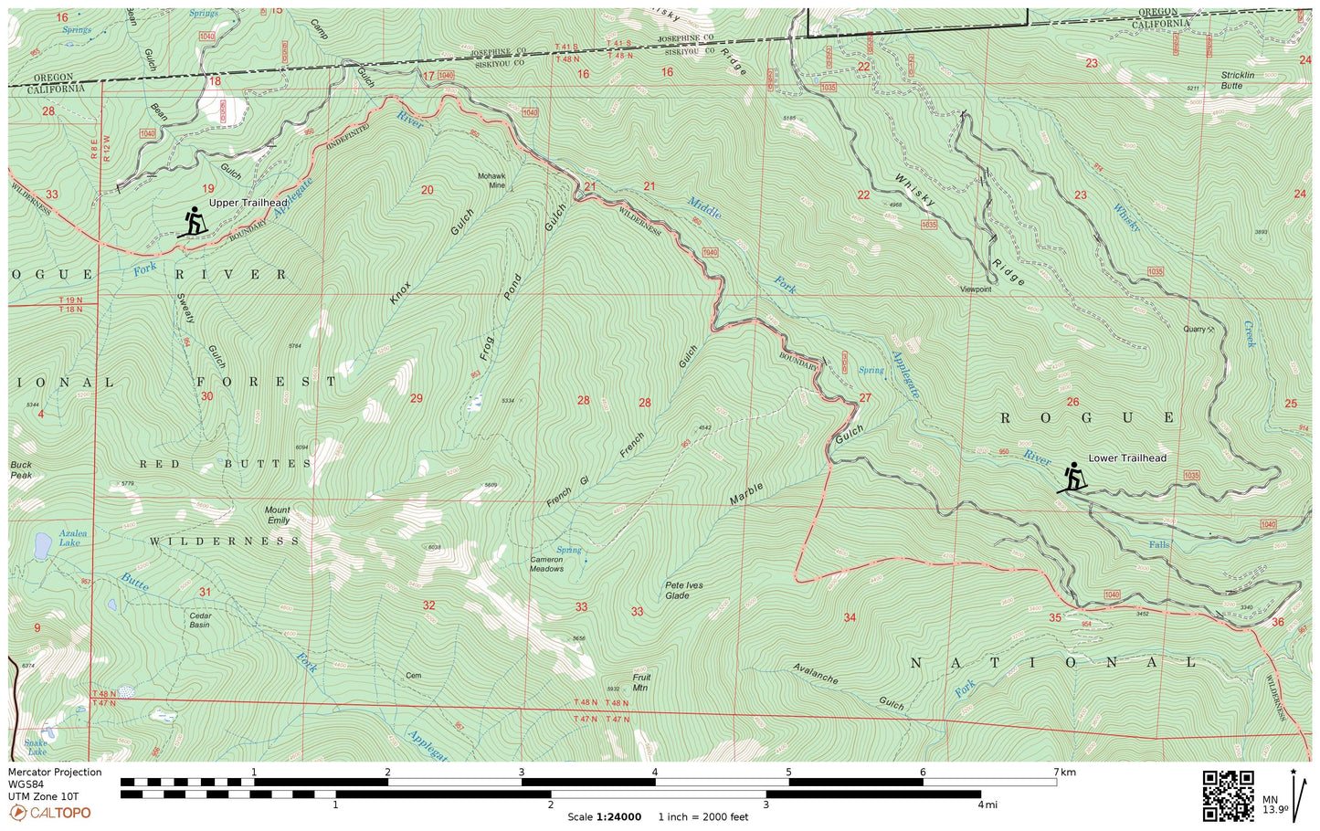
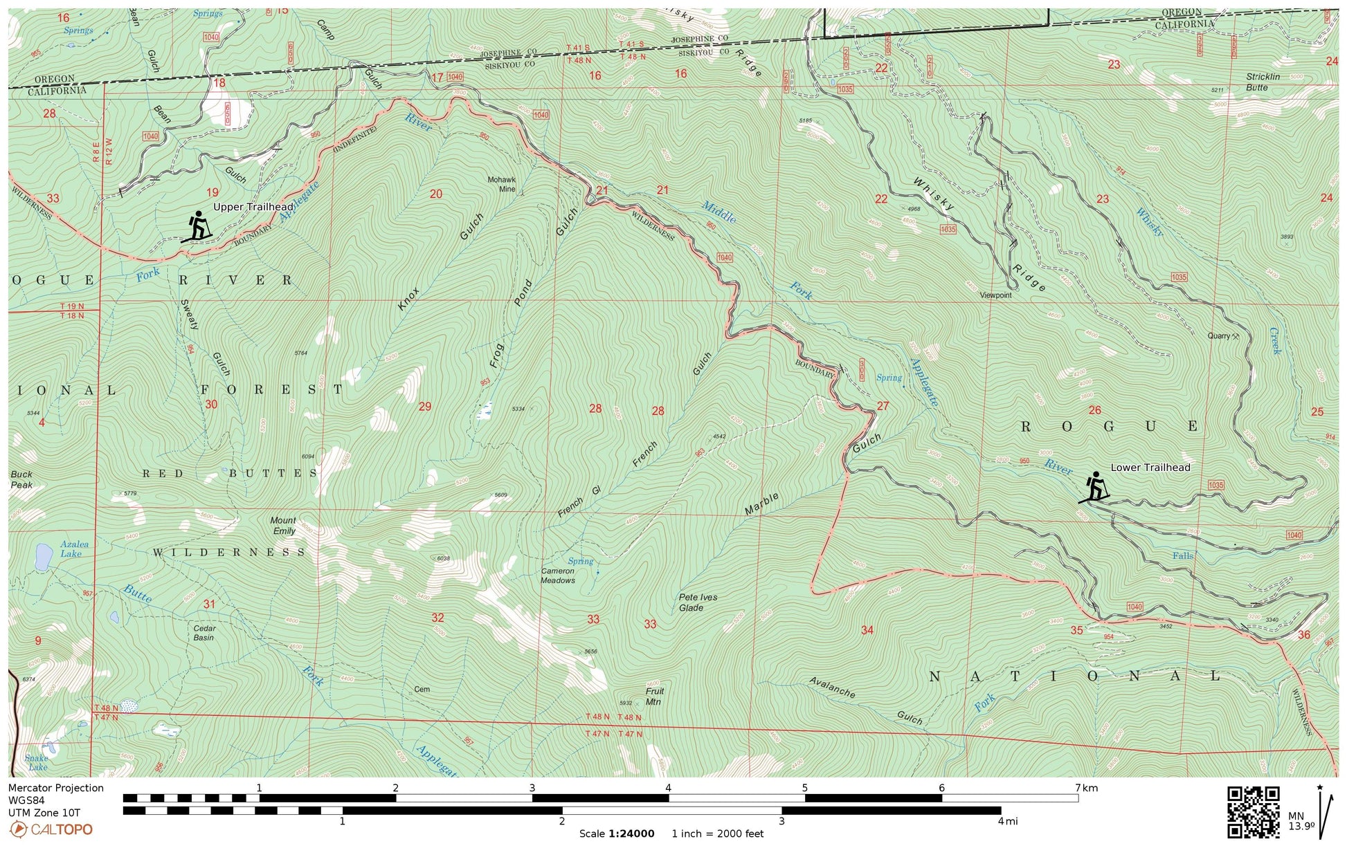
Download this high-resolution topographic map of the Middle Fork National Recreation Trail with 40-foot contours and 7.5-minute resolution. Print the file on an 11x17-inch sheet, or download the georeferenced PDF compatible with any georeferenced mobile application.
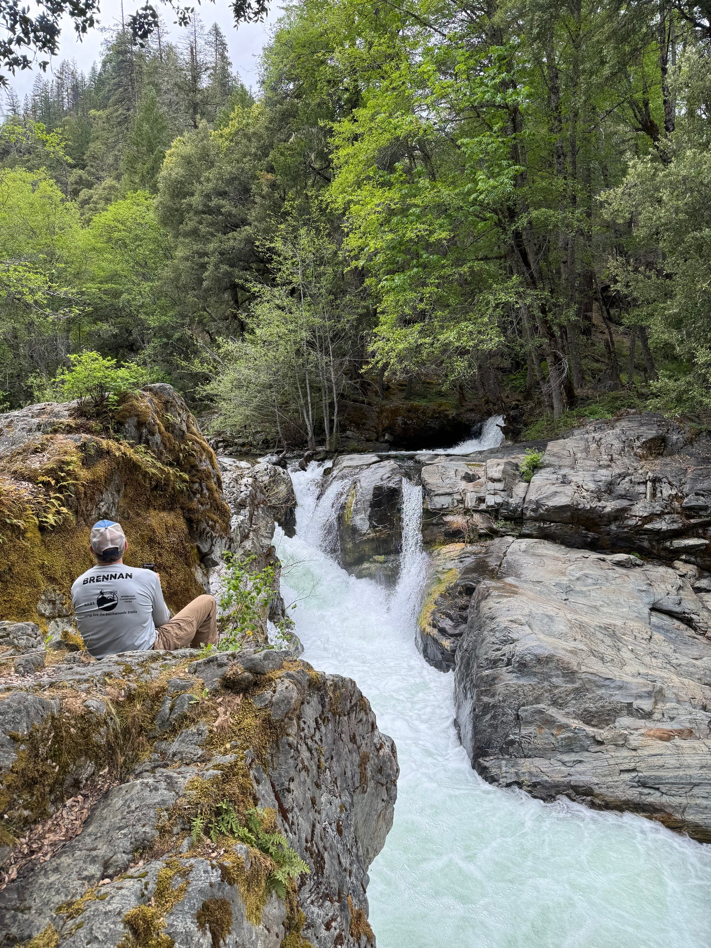
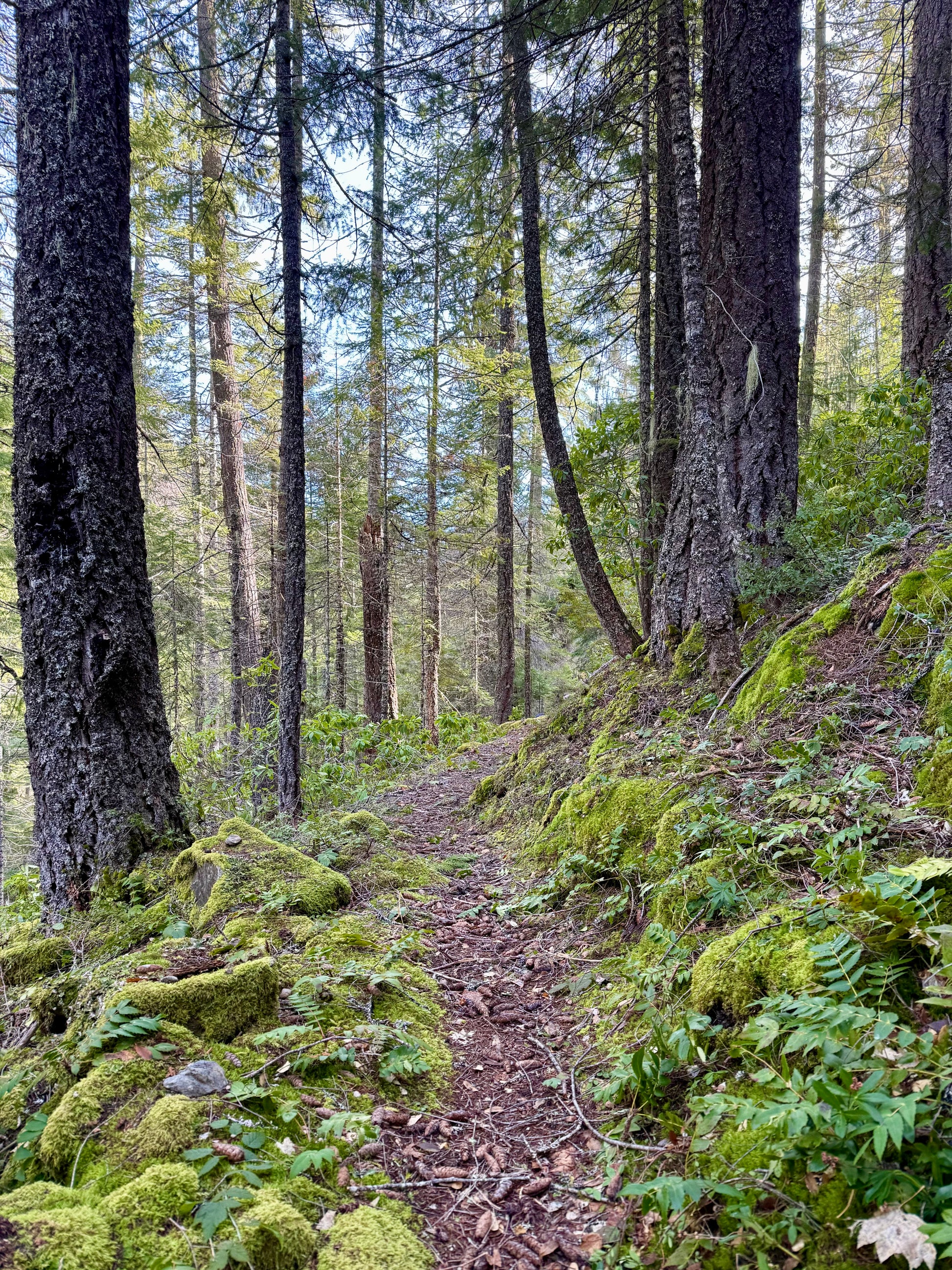
The trail starts just a few minutes from Applegate Lake, traversing a rugged canyon full of mesmerizing old growth stands and leads into the Red Buttes Wilderness. It ascends at a manageable grade and includes one stream crossing.
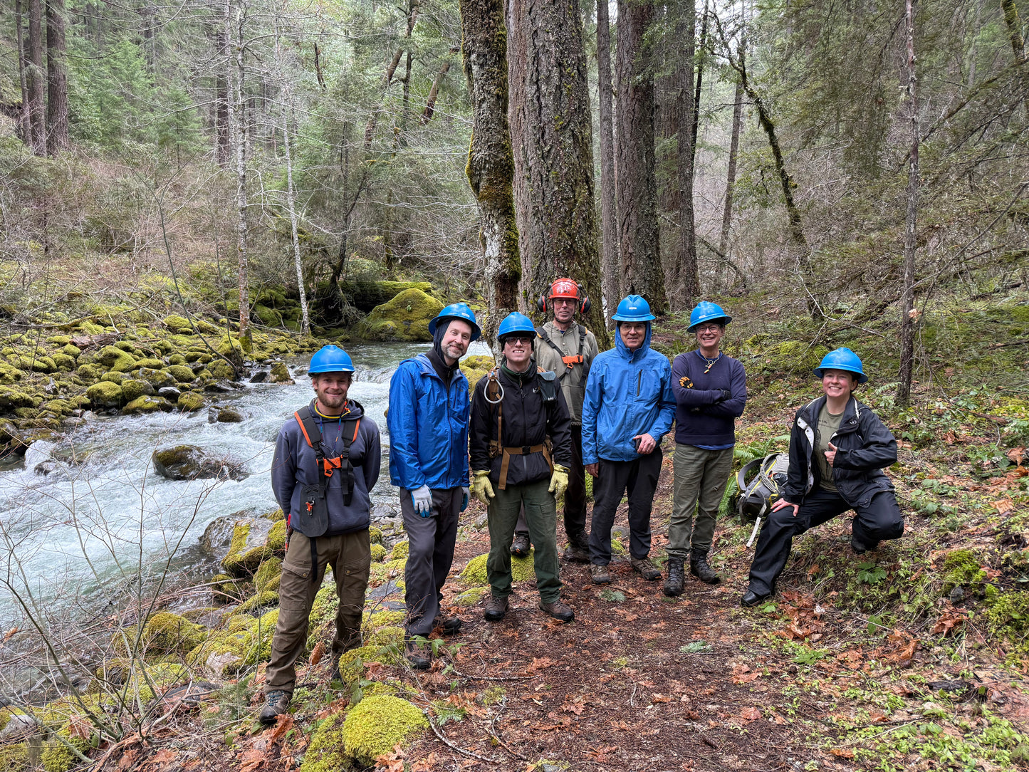
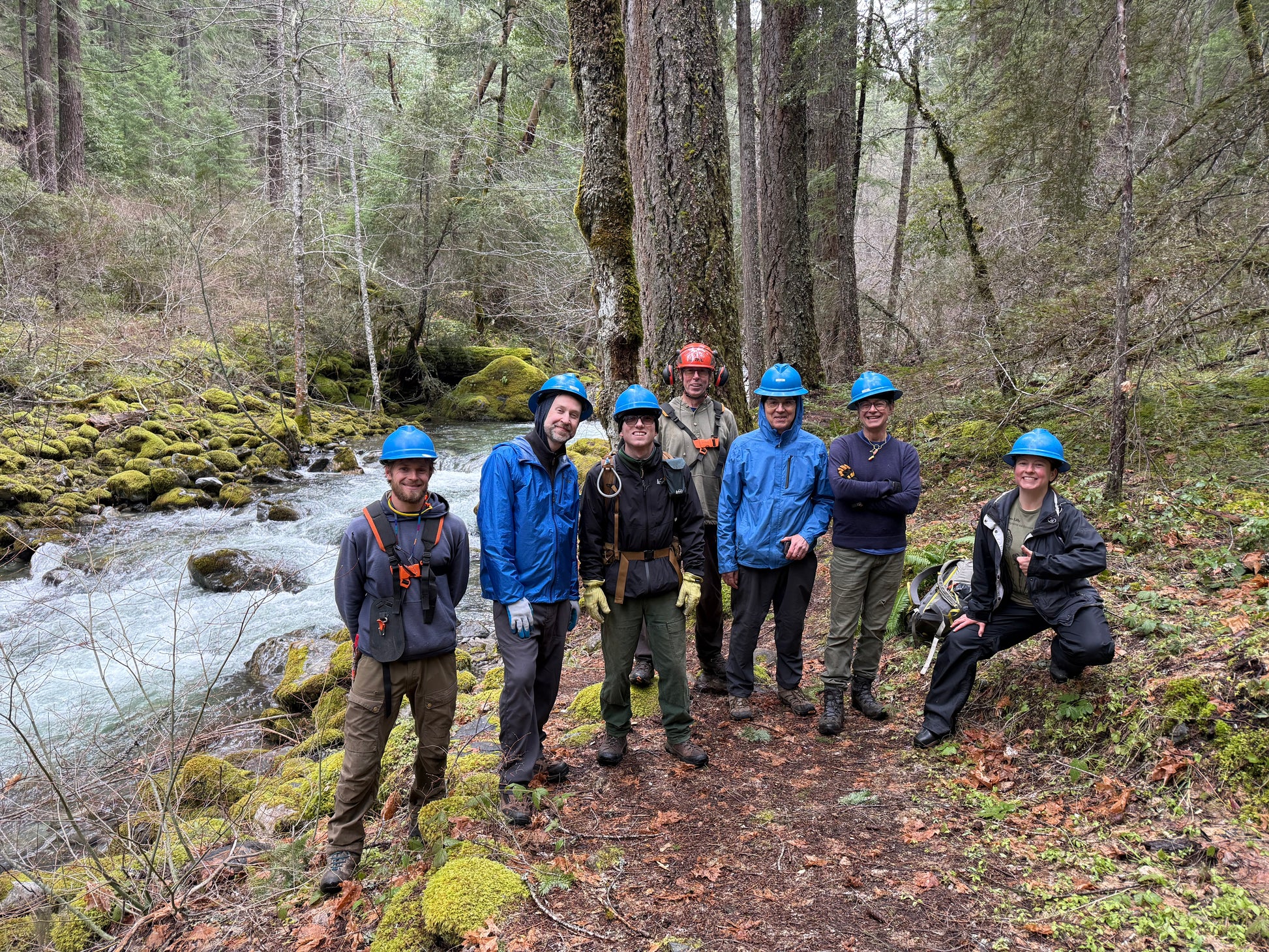
The entire trail was maintained in 2025 by our crews. Questions about your adventure on the Lone Pilot Trail?
Call 458-254-0657 or stop by our shop at 106 Talent Ave, Talent, OR. We're open Wed - Fri from 1pm to 7pm.
 View full details