


Siskiyou Mountain Club
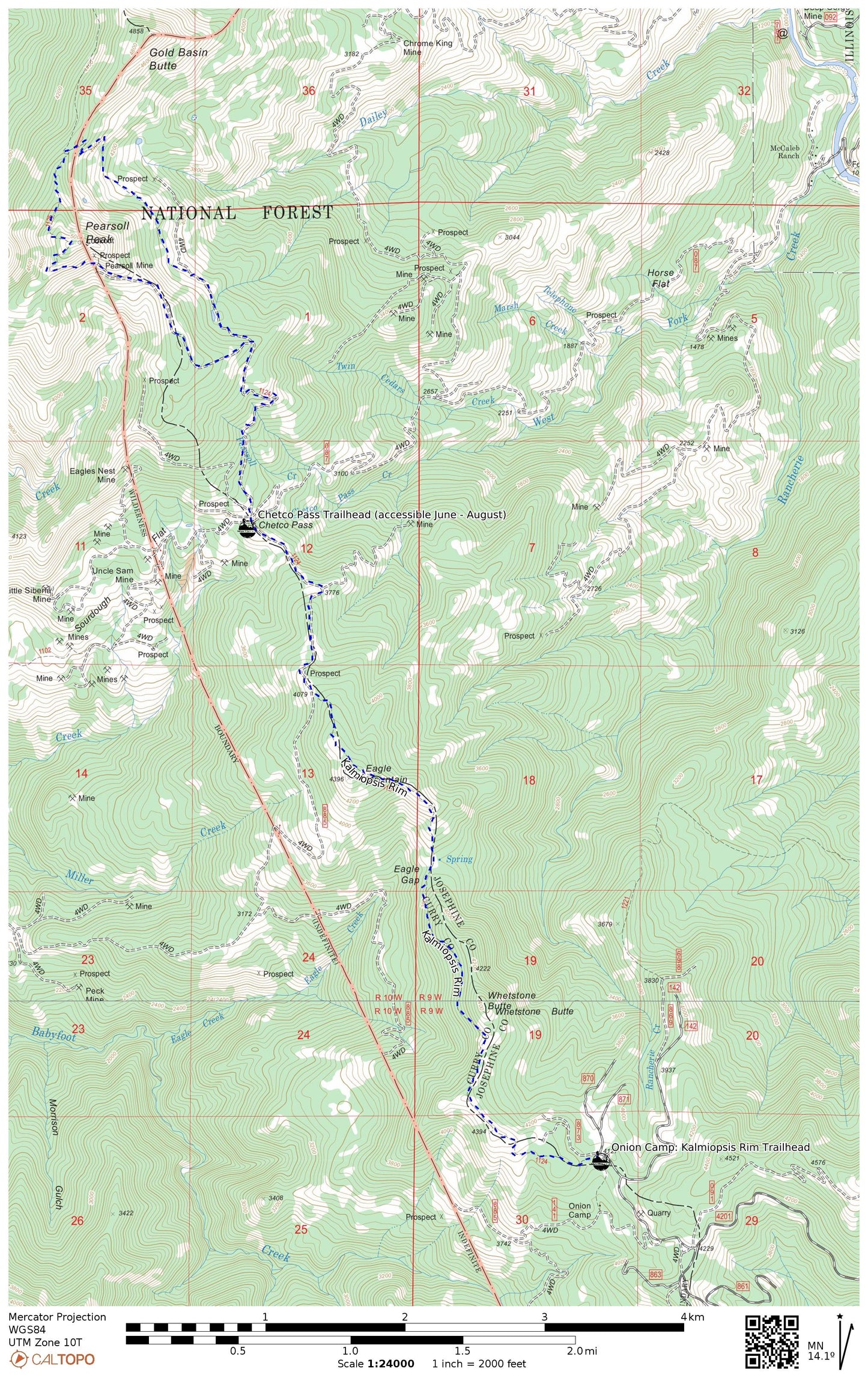
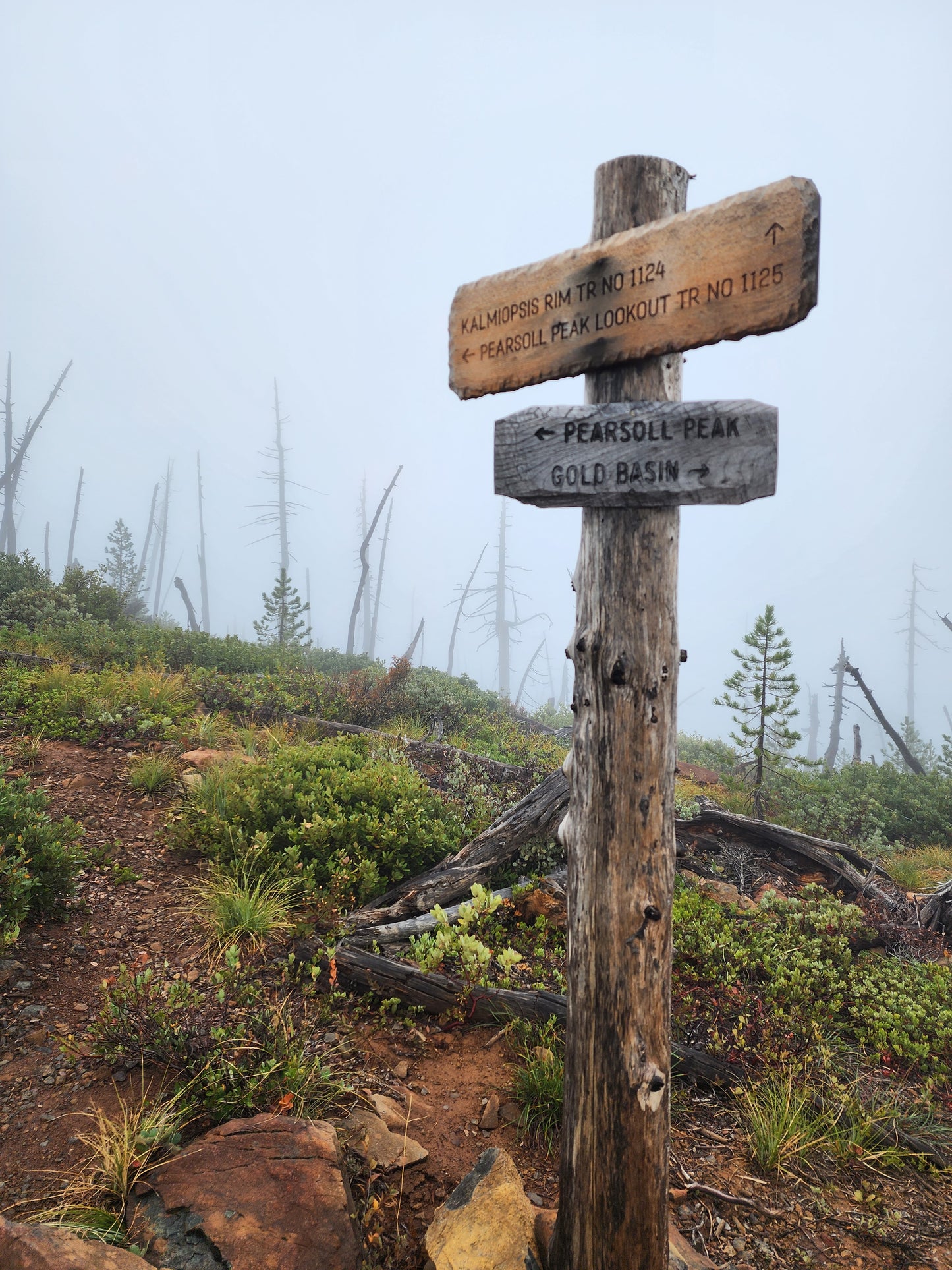
11x17 Kalmiopsis Rim Trail from Onion Camp to Pearsoll Peak, Geo-Referenced PDF
11x17 Kalmiopsis Rim Trail from Onion Camp to Pearsoll Peak, Geo-Referenced PDF
Couldn't load pickup availability
Download this high-resolution topographic map of the Kalmiopsis Rim Trail from Onion Camp to Pearsoll Peak with 40-foot contours and 7.5-minute resolution. Print the file on an 11x17-inch sheet, or download the geo-referenced PDF compatible with any geo-reference mobile application.
After check out, you will receive an email with the link to the PDF file. Do not hesitate to reach out for service: info@siskiyoumountainclub.org or 458-254-0657.
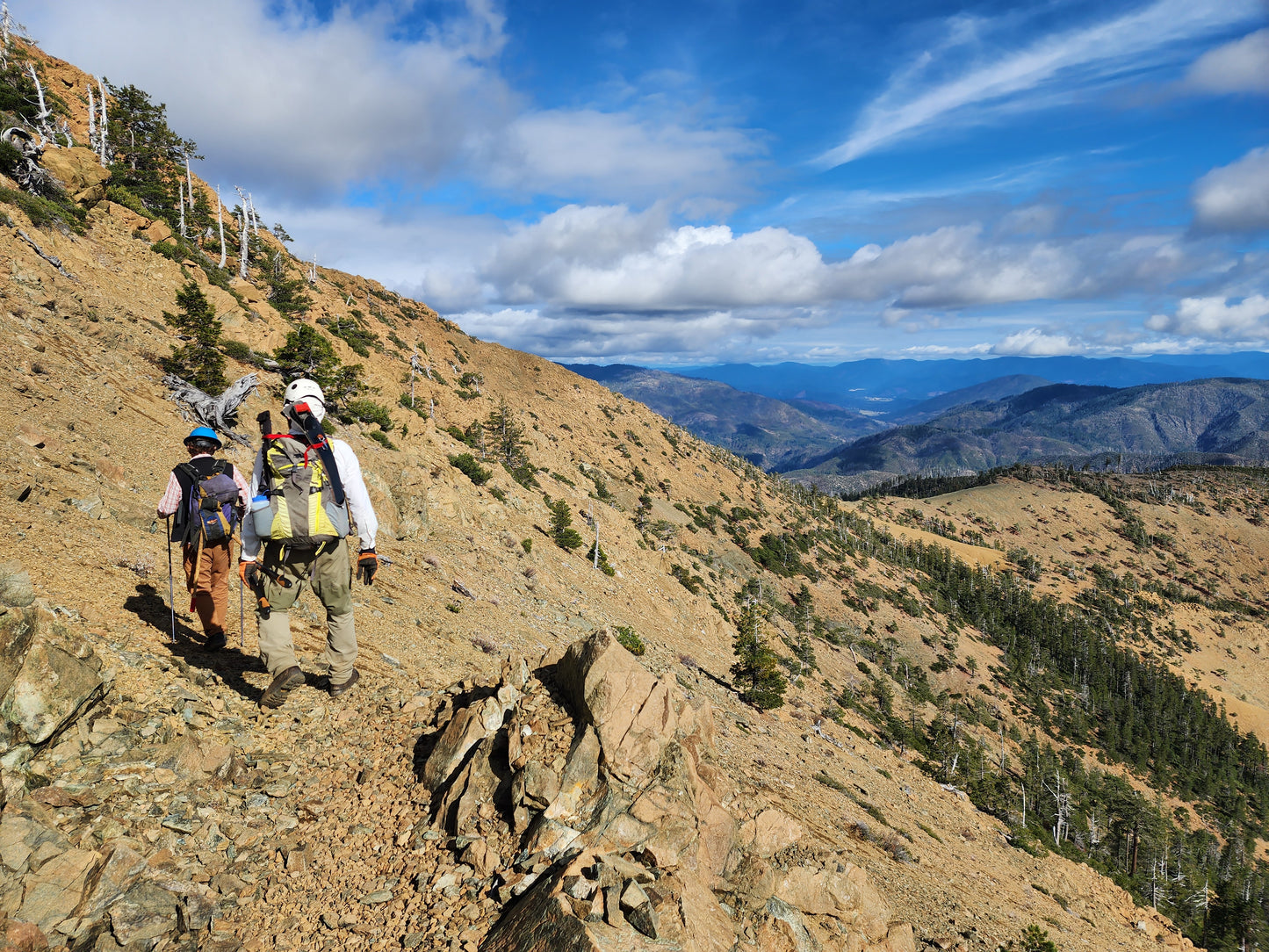
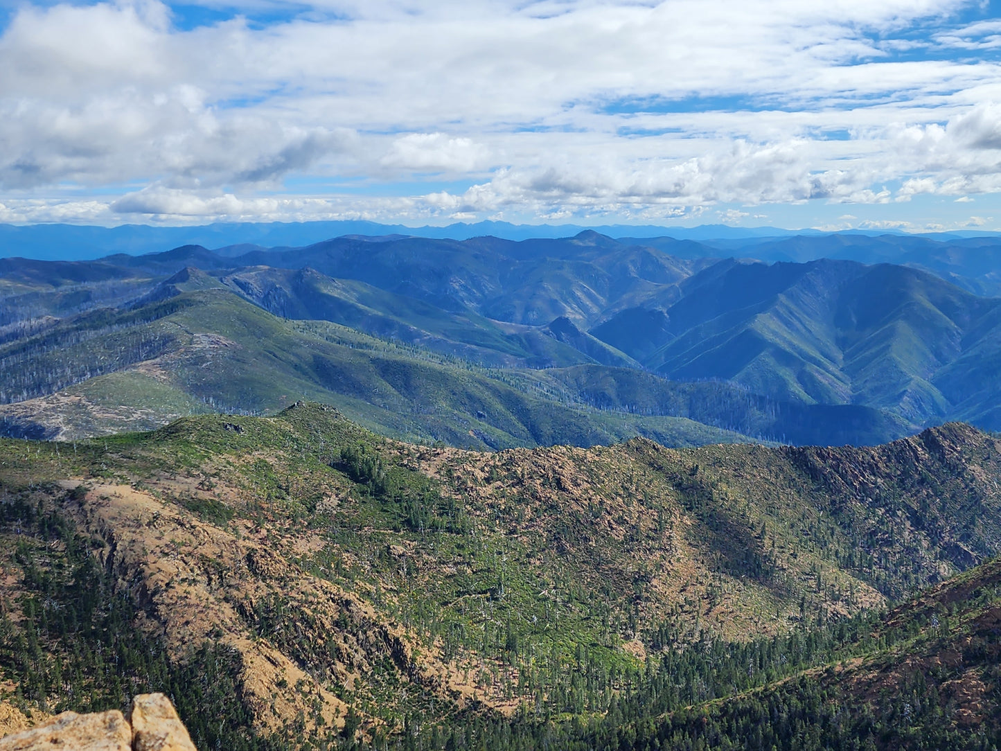
The trails on this map were maintained in 2025. Questions about your adventure in the Mountain Lakes? Reach out or stop by our shop at 106 Talent Ave, Talent, OR. We're open Wed - Fri from 1pm to 7pm.
Driving directions to the Kalmiopsis Rim Trailhead:
From Selma, OR, take US Highway 199 south for about four miles. Turn west onto $8 Mountain Road 4201 and follow it for about 14.5 miles. Turn right onto Forest Road 142. If you reach the Babyfoot Lake Trailhead, you missed the turn-off onto Forest Road 142.
 View full details